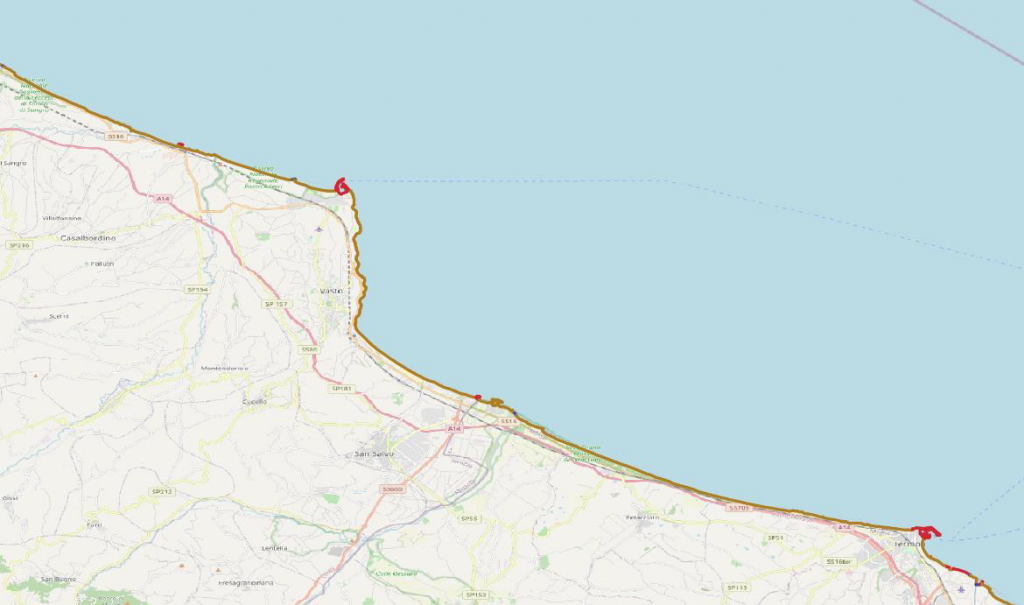
Description
- Coastline digital map, obtained by automatic processing of VHR data (1 to 10 meter) and subsequent manual photointerpretation to enhance the result
- The map delivers a classification in homogeneous segments of the coastline
Operating scenarios
- Base knowledge
- Post event
- Extraordinary Monitoring
Technical Specification
| Requirement | Description |
| Spatial resolution | 1 – 10 m |
| Coverage area | Max AoI extension: 50km |
| Geographic accuracy | Circular Error 90%: <=1.5 pixel (1.5 times bigger than the spatial resolution) |
| Information Age | 5 years |
| Measurement uncertainty | 10% |
| Measurement / projection unit | Projection: UTM-WGS84 |
| Input EO data | – Hi-res optical data: Sentinel-2, Pléiades, GeoEye – Hi-res SAR data: COSMO SkyMed, TerraSAR-X, Sentinel-1 |
| Input data used | – DEM – Land cover map (optional) |
| Data used for validation | Ground truth or cartography supplied by the users |
| Format | GIS file: shapefile Metadata: standard ISO 19115, and compliant with INSPIRE 2007/2/CE and with Italian regulation “D.Lgs. n. 32 del 27/01/2010” |
| Refresh rate | The theoretical limit is given by the availability of satellite data. Usually in the case of basic knowledge, updating the maps is required over the long term (seasonal, annual or multi-year). On request, it is possible to update the map every 7 days |
Example